CGIs For Chartered Surveyors.
A CGI studio led by a Chartered Surveyor and Environmental Engineer brings unique advantages to property visualisation. Our expertise proves particularly valuable in early-stage design projects, where professional judgment is essential for filling in details and making informed assumptions.
Our technical background enables us to address specialised requirements, from Rights of Light assessments to complex planning applications. Our visualisations help prevent and resolve disputes by clearly communicating design intent and impact.
What sets us apart is our comprehensive understanding of property development. Having designed, developed, and built properties ourselves, we know what works, what sells, and how to employ visual techniques that achieve optimal client results.
Our CGI visualisation services support Chartered Surveyors throughout the planning, construction, and marketing phases. As members of the Royal Institution of Chartered Surveyors (RICS), we bring professional credibility to our work and share a common technical language with our clients.
3D Renderings For Chartered Surveyors.
Our professional credentials help when sensitive planning applications may be subject to local objectors. Upon request, produce method statements to back up the work we visualised and to show the checks and measures we applied in the production process.
Image: H4 CGI for a planning application to erect a monument to Margret Thatcher in Parliament Square, outside the RICS headquarters.
Top Services
Flythroughs/Walkthroughs
A predetermined walkthrough/flythrough of a property gives the audience an instant tour of the key selling features.
Aerial Photography / Drone Shots.
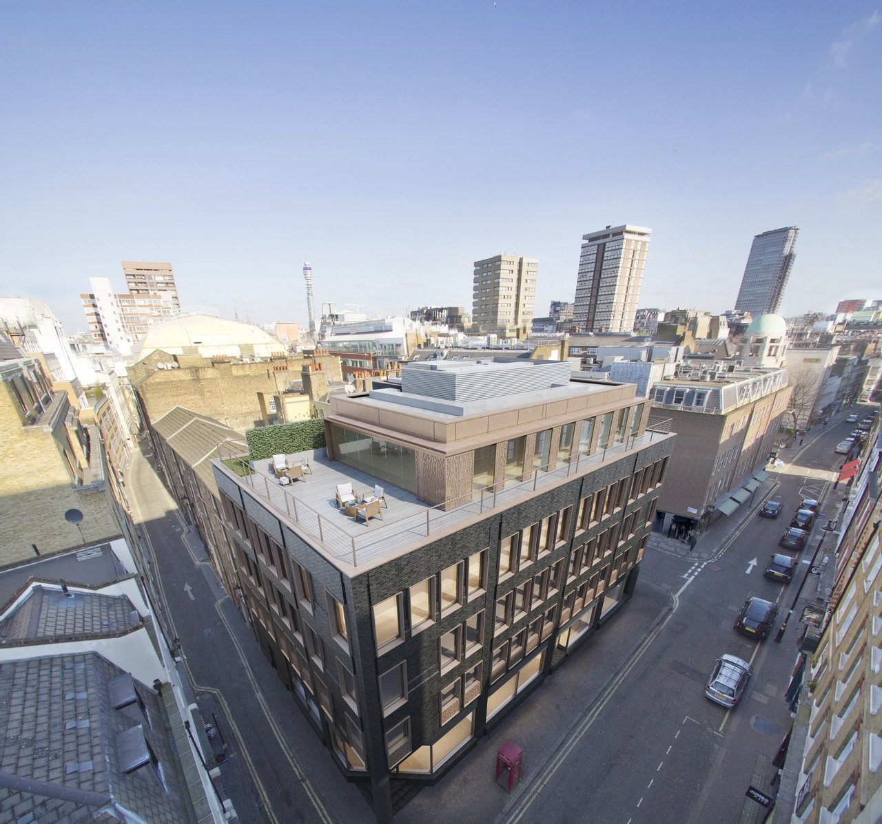
3D Aerial Rendering & Drone CGI’s are perfect for visualising property or city plans from a birds eye view, and highlight its wider environment.
Architectural Visualisations.
CGI’s and Architectural Visualisations ensure you can provide enough visual impact to create that winning pitch.
Verified Views / AVR.
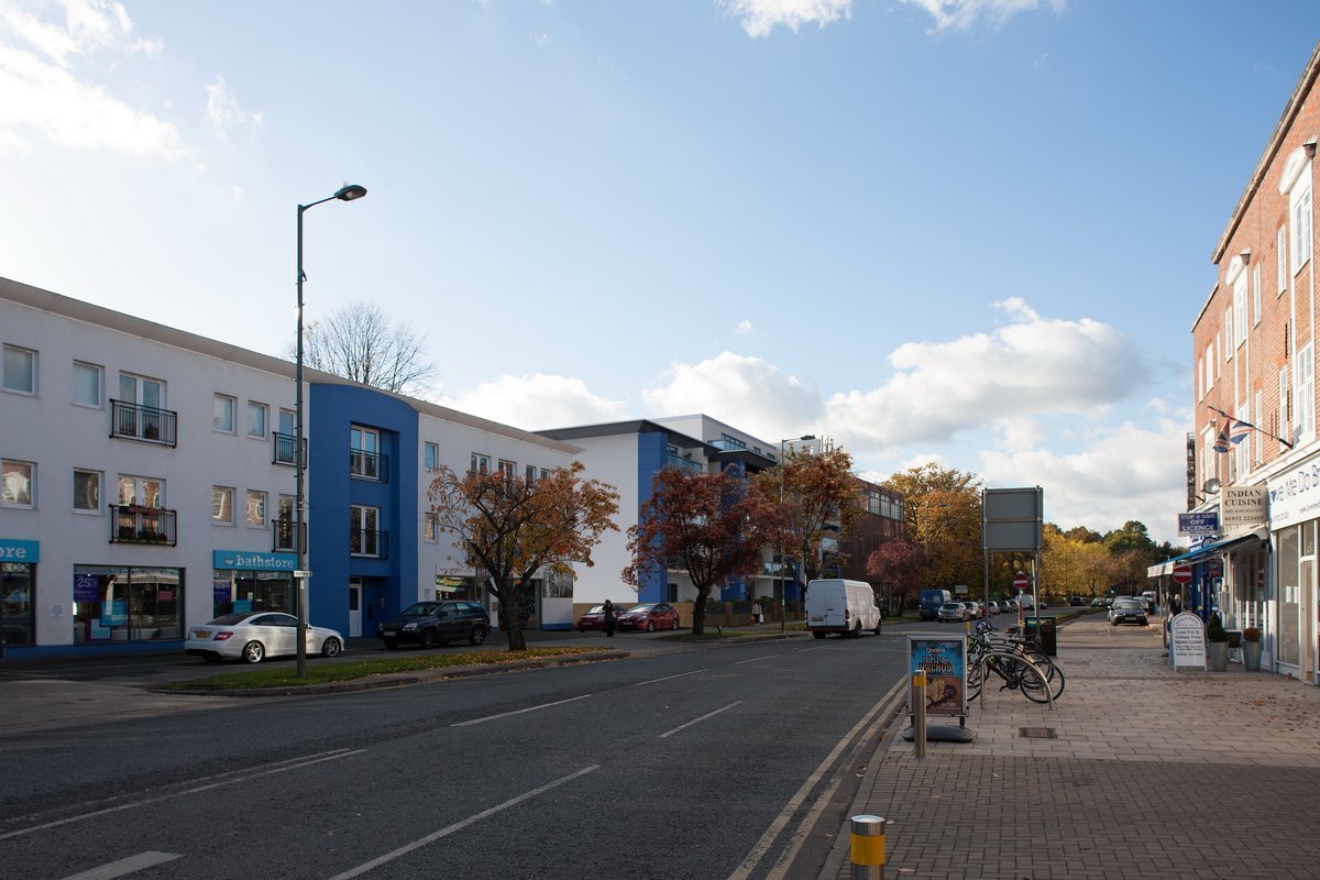
The Verified View or AVR is a computer-generated image (CGI) that illustrates the proposed structure's final location.


